Welcome.
NZGA’s members are part of a diverse and skilled network of people working and living with our unique geothermal resources.
NZGA is a non-political, non-governmental and not for profit organisation. Our focus is on providing leadership, connection and facilitation to support and grow sustainable geothermal opportunities in Aotearoa New Zealand.
NZGA also connects with global geothermal communities, and is well positioned to positively influence geothermal initiatives on the world stage.
Fostering a sustainable
future for Aotearoa
New Zealand through
geothermal
News & Events

2024 NZGA President Interview
Katie McLean has been President of the New Zealand Geothermal Association since late 2022, and has recently begun her second year in the role. We caught up with her for her reflections on the year that has been, and what's ahead for the NZGA.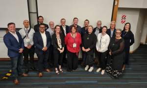
Departing Board Members 2023
2023 saw the departure of a number of Board members, who have each contributed significantly to the NZGA during their time governing the organisation – Ted Montague, Jeremy O'Brien, Brian White, Paul Siratovich and Scott Henderson.
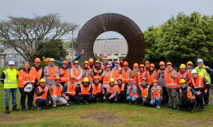
Geothermal Project Management Short Course 2023
The Geothermal Institute has recently held its first of three 2023 Geothermal Project Management (GPM) courses, supported by the Ministry of Foreign Affairs & Trade (MFAT's) Manaaki New Zealand scholarship fund and Jacobs New Zealand. NZGA caught up with John O'Sullivan, co-director of the Geothermal Institute, to give us more insight into the initiative:
NZGA Submission: Electricity Market Measures
The NZGA has recently submitted a comprehensive set of measures to the Ministry of Business, Innovation and Employment (MBIE) as part of their consultation on transitioning to an expanded and highly renewable electricity system.Tuesday, April 23rd, 2024
Wednesday, April 24th, 2024
Sunday, May 26th, 2024
Tuesday, May 28th, 2024
Monday, July 1st, 2024
Location: Taupō, New Zealand Duration: 6 days
Saturday, October 26th, 2024